The Muckle Burn
Introduction
The photograph on this page of The Muckle Burn by valenta as part of the Geograph project.
The Geograph project started in 2005 with the aim of publishing, organising and preserving representative images for every square kilometre of Great Britain, Ireland and the Isle of Man.

There are currently over 7.5m images from over 14,400 individuals and you can help contribute to the project by visiting https://www.geograph.org.uk
The Muckle Burn
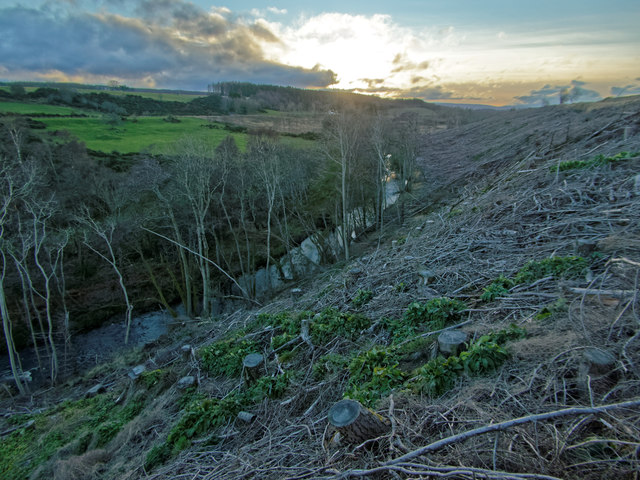
Image: © valenta Taken: 6 Jan 2016
The woodland shown on the OS maps has been clear felled, opening up views of the Muckle Burn.
Images are licensed for reuse under creativecommons.org/licenses/by-sa/2.0
Image Location
Latitude
57.560702
Longitude
-3.73041