Track to The Dingle, West Malvern
Introduction
The photograph on this page of Track to The Dingle, West Malvern by David Smith as part of the Geograph project.
The Geograph project started in 2005 with the aim of publishing, organising and preserving representative images for every square kilometre of Great Britain, Ireland and the Isle of Man.

There are currently over 7.5m images from over 14,400 individuals and you can help contribute to the project by visiting https://www.geograph.org.uk
Track to The Dingle, West Malvern
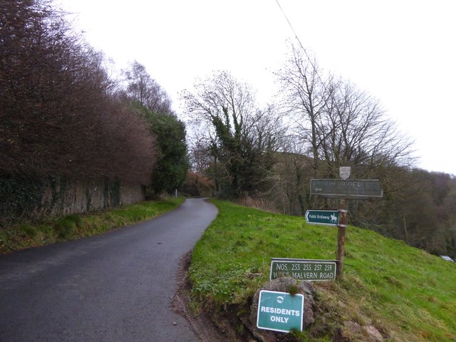
Image: © David Smith Taken: 30 Dec 2015
A bridleway leading to the saddle between the Worcestershire Beacon and Sugarloaf Hill
Images are licensed for reuse under creativecommons.org/licenses/by-sa/2.0
Image Location


Leaflet Map data © OpenStreetMap
Latitude
52.108852
Longitude
-2.344843