Maisley
Introduction
The photograph on this page of Maisley by Anne Burgess as part of the Geograph project.
The Geograph project started in 2005 with the aim of publishing, organising and preserving representative images for every square kilometre of Great Britain, Ireland and the Isle of Man.

There are currently over 7.5m images from over 14,400 individuals and you can help contribute to the project by visiting https://www.geograph.org.uk
Maisley
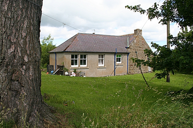
Image: © Anne Burgess Taken: 27 Jun 2007
This is not the main farm at Maisley, but a separate cottage 600 metres away. It isn't marked on the 1872 1:10,560 map, but I think it may be Maisley Cottage.
Images are licensed for reuse under creativecommons.org/licenses/by-sa/2.0
Image Location


Leaflet Map data © OpenStreetMap
Latitude
57.528429
Longitude
-2.990554