Zigzag markings on St Mary's Hill, Inchbrook
Introduction
The photograph on this page of Zigzag markings on St Mary's Hill, Inchbrook by Jaggery as part of the Geograph project.
The Geograph project started in 2005 with the aim of publishing, organising and preserving representative images for every square kilometre of Great Britain, Ireland and the Isle of Man.

There are currently over 7.5m images from over 14,400 individuals and you can help contribute to the project by visiting https://www.geograph.org.uk
Zigzag markings on St Mary's Hill, Inchbrook
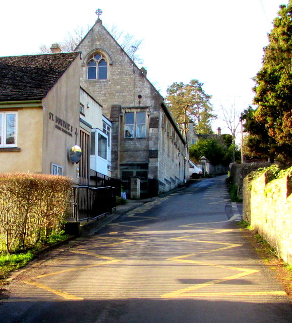
Image: © Jaggery Taken: 20 Dec 2015
The yellow markings indicate a Keep Clear Zone outside the entrance to St Dominic's Catholic Primary School.
Images are licensed for reuse under creativecommons.org/licenses/by-sa/2.0
Image Location


Leaflet Map data © OpenStreetMap
Latitude
51.707599
Longitude
-2.23107