The western end of Knostrop Cut
Introduction
The photograph on this page of The western end of Knostrop Cut by Graham Robson as part of the Geograph project.
The Geograph project started in 2005 with the aim of publishing, organising and preserving representative images for every square kilometre of Great Britain, Ireland and the Isle of Man.

There are currently over 7.5m images from over 14,400 individuals and you can help contribute to the project by visiting https://www.geograph.org.uk
The western end of Knostrop Cut
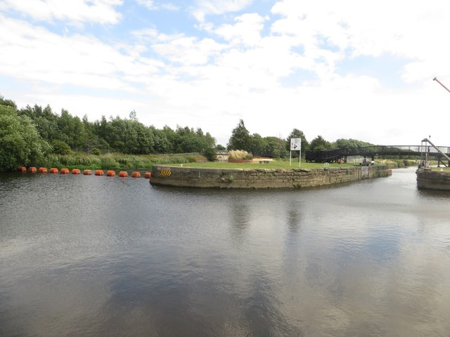
Image: © Graham Robson Taken: 3 Aug 2015
The channel on the right, known as Knostrop Cut is a canal channel which runs adjacent to the River Aire.
Images are licensed for reuse under creativecommons.org/licenses/by-sa/2.0
Image Location
Latitude
53.782925
Longitude
-1.522514