Navigation Road and evidence of the water levels
Introduction
The photograph on this page of Navigation Road and evidence of the water levels by DS Pugh as part of the Geograph project.
The Geograph project started in 2005 with the aim of publishing, organising and preserving representative images for every square kilometre of Great Britain, Ireland and the Isle of Man.

There are currently over 7.5m images from over 14,400 individuals and you can help contribute to the project by visiting https://www.geograph.org.uk
Navigation Road and evidence of the water levels
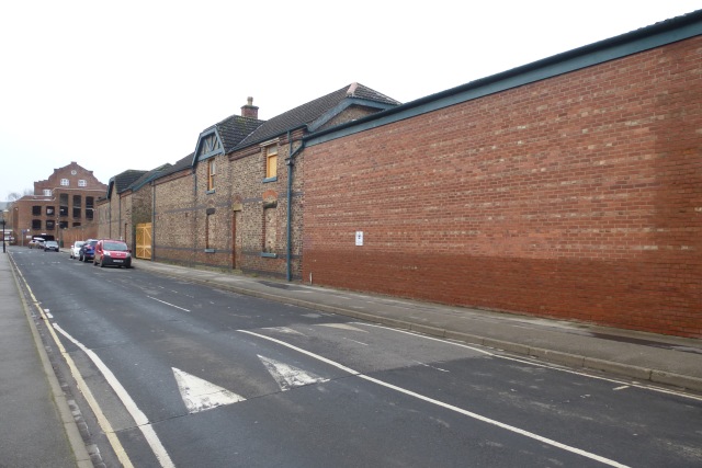
Image: © DS Pugh Taken: 1 Jan 2016
This area of York was extensively flooded following the Boxing Day rainfall and subsequent river level rises. Normally this area wouldn't flood as it is protected by the Foss Barrier, which failed this time. Note the level the water reached on the wall.
Images are licensed for reuse under creativecommons.org/licenses/by-sa/2.0
Image Location
Latitude
53.95852
Longitude
-1.071833