Westhope Lane
Introduction
The photograph on this page of Westhope Lane by Jonathan Billinger as part of the Geograph project.
The Geograph project started in 2005 with the aim of publishing, organising and preserving representative images for every square kilometre of Great Britain, Ireland and the Isle of Man.

There are currently over 7.5m images from over 14,400 individuals and you can help contribute to the project by visiting https://www.geograph.org.uk
Westhope Lane
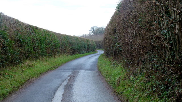
Image: © Jonathan Billinger Taken: 5 Jan 2016
We see almost all the lane that cuts across the north-east corner of the gridsquare. The high dense hedges preclude photography of the surrounding orchards.
Images are licensed for reuse under creativecommons.org/licenses/by-sa/2.0
Image Location
Latitude
52.154438
Longitude
-2.791734