Field near Warren Farm, Buckholt
Introduction
The photograph on this page of Field near Warren Farm, Buckholt by Andy Gryce as part of the Geograph project.
The Geograph project started in 2005 with the aim of publishing, organising and preserving representative images for every square kilometre of Great Britain, Ireland and the Isle of Man.

There are currently over 7.5m images from over 14,400 individuals and you can help contribute to the project by visiting https://www.geograph.org.uk
Field near Warren Farm, Buckholt
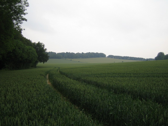
Image: © Andy Gryce Taken: 10 Jun 2007
This view looking north-east from The Warren, the unclassified road that runs north from a C road north of West Tytherley to the A30 road, is of a very large wheat field rising up to the western end of Broughton Down. The highest point, at the gap in the trees, is 153m.
Images are licensed for reuse under creativecommons.org/licenses/by-sa/2.0
Image Location


Leaflet Map data © OpenStreetMap
Latitude
51.101155
Longitude
-1.613768