Rosyth Docks railway line
Introduction
The photograph on this page of Rosyth Docks railway line by Thomas Nugent as part of the Geograph project.
The Geograph project started in 2005 with the aim of publishing, organising and preserving representative images for every square kilometre of Great Britain, Ireland and the Isle of Man.

There are currently over 7.5m images from over 14,400 individuals and you can help contribute to the project by visiting https://www.geograph.org.uk
Rosyth Docks railway line
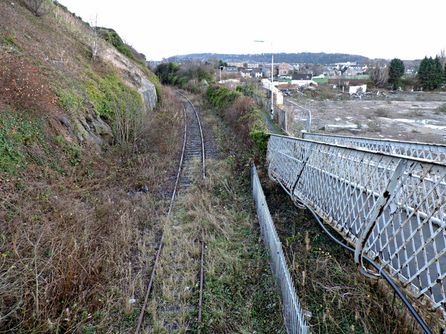
Image: © Thomas Nugent Taken: 23 Dec 2015
The private line from Inverkeithing to the Royal Dockyard at Rosyth has fallen into disrepair in recent years, with vegetation and fly-tipped rubbish beginning to take a hold. Seen here adjacent to the former Caldwell paper mill site at Inverkeithing.
Images are licensed for reuse under creativecommons.org/licenses/by-sa/2.0
Image Location
Latitude
56.02901
Longitude
-3.396624