Forth Bridge Stevedoring, Inverkeithing
Introduction
The photograph on this page of Forth Bridge Stevedoring, Inverkeithing by Thomas Nugent as part of the Geograph project.
The Geograph project started in 2005 with the aim of publishing, organising and preserving representative images for every square kilometre of Great Britain, Ireland and the Isle of Man.

There are currently over 7.5m images from over 14,400 individuals and you can help contribute to the project by visiting https://www.geograph.org.uk
Forth Bridge Stevedoring, Inverkeithing
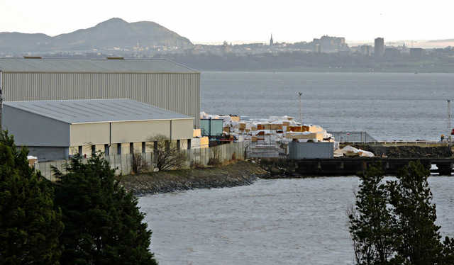
Image: © Thomas Nugent Taken: 23 Dec 2015
An independent port facility at East Ness at the entrance to Inner Bay http://www.forthbridgestevedoring.co.uk/ . See also Image
Images are licensed for reuse under creativecommons.org/licenses/by-sa/2.0
Image Location
Latitude
56.025669
Longitude
-3.390085