Path fork in Lower Boulsdon Farm, Newent
Introduction
The photograph on this page of Path fork in Lower Boulsdon Farm, Newent by Jaggery as part of the Geograph project.
The Geograph project started in 2005 with the aim of publishing, organising and preserving representative images for every square kilometre of Great Britain, Ireland and the Isle of Man.

There are currently over 7.5m images from over 14,400 individuals and you can help contribute to the project by visiting https://www.geograph.org.uk
Path fork in Lower Boulsdon Farm, Newent
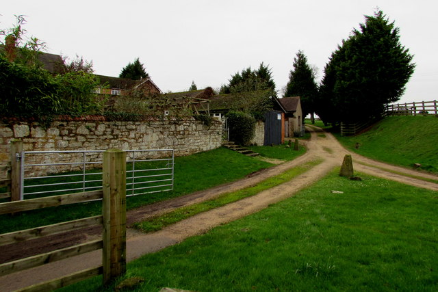
Image: © Jaggery Taken: 28 Dec 2015
Viewed from Boulsden Lane. I'm uncertain of the correct spelling. The lane is spelt Boulsden on the sign on the right here. http://www.geograph.org.uk/photo/4782464 The name at the farm entrance is Lower Boulsdon Farm. One map I referred to added a third choice - it shows Lower Bouldson Farm, presumably a typo...
Images are licensed for reuse under creativecommons.org/licenses/by-sa/2.0
Image Location
Latitude
51.921988
Longitude
-2.412332