Lower Boulsdon Farm, Newent
Introduction
The photograph on this page of Lower Boulsdon Farm, Newent by Jaggery as part of the Geograph project.
The Geograph project started in 2005 with the aim of publishing, organising and preserving representative images for every square kilometre of Great Britain, Ireland and the Isle of Man.

There are currently over 7.5m images from over 14,400 individuals and you can help contribute to the project by visiting https://www.geograph.org.uk
Lower Boulsdon Farm, Newent
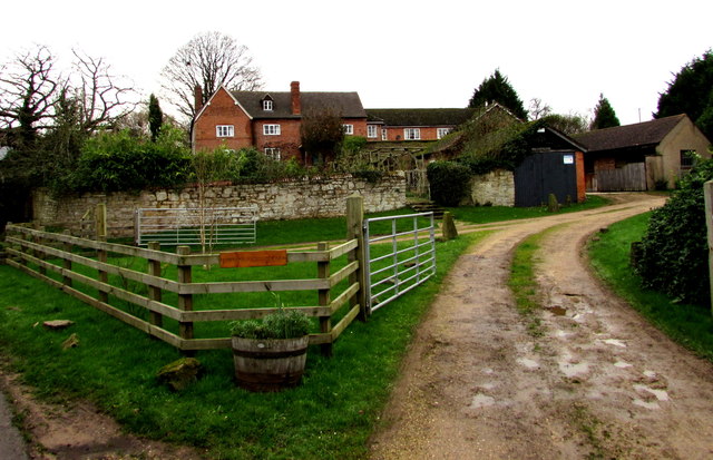
Image: © Jaggery Taken: 28 Dec 2015
On the west bank of Peacocks Brook at the southern edge of Newent.
Images are licensed for reuse under creativecommons.org/licenses/by-sa/2.0
Image Location
Latitude
51.922077
Longitude
-2.412624