Leaving Epworth on the Trent Valley Way and Peatlands Way
Introduction
The photograph on this page of Leaving Epworth on the Trent Valley Way and Peatlands Way by Tim Heaton as part of the Geograph project.
The Geograph project started in 2005 with the aim of publishing, organising and preserving representative images for every square kilometre of Great Britain, Ireland and the Isle of Man.

There are currently over 7.5m images from over 14,400 individuals and you can help contribute to the project by visiting https://www.geograph.org.uk
Leaving Epworth on the Trent Valley Way and Peatlands Way
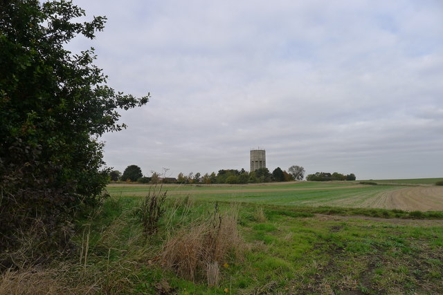
Image: © Tim Heaton Taken: 23 Oct 2015
The water tower is built on ground about 30 metres above sea-level; a high point for the Isle of Axholme
Images are licensed for reuse under creativecommons.org/licenses/by-sa/2.0
Image Location
Latitude
53.533406
Longitude
-0.82089