Centre of Drymen
Introduction
The photograph on this page of Centre of Drymen by Richard Sutcliffe as part of the Geograph project.
The Geograph project started in 2005 with the aim of publishing, organising and preserving representative images for every square kilometre of Great Britain, Ireland and the Isle of Man.

There are currently over 7.5m images from over 14,400 individuals and you can help contribute to the project by visiting https://www.geograph.org.uk
Centre of Drymen
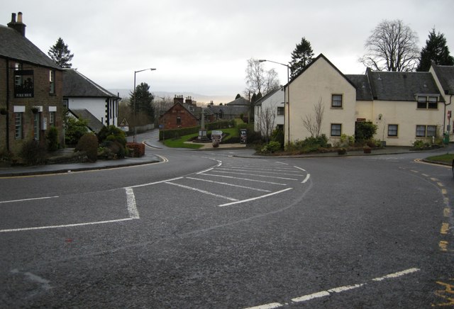
Image: © Richard Sutcliffe Taken: 4 Jan 2016
View south down the B858 at the centre of Drymen. On the left is the Drymen Pottery (a public house, tearoom and shop). In the centre is the Drymen war memorial, beside the junction with the B837, which leads to Balmaha (4 miles) and then to Rowardennan (11 miles).
Images are licensed for reuse under creativecommons.org/licenses/by-sa/2.0
Image Location
Latitude
56.06511
Longitude
-4.452367