Church Drive East Daybrook
Introduction
The photograph on this page of Church Drive East Daybrook by M J Richardson as part of the Geograph project.
The Geograph project started in 2005 with the aim of publishing, organising and preserving representative images for every square kilometre of Great Britain, Ireland and the Isle of Man.

There are currently over 7.5m images from over 14,400 individuals and you can help contribute to the project by visiting https://www.geograph.org.uk
Church Drive East Daybrook
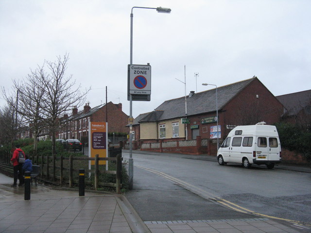
Image: © M J Richardson Taken: 2 Jan 2016
By the entrance to Sainsbury's Arnold, and with the Arnold District Victory Club on the right.
Images are licensed for reuse under creativecommons.org/licenses/by-sa/2.0
Image Location
Latitude
53.000151
Longitude
-1.13334