St Andrew's, Hasketon
Introduction
The photograph on this page of St Andrew's, Hasketon by Bikeboy as part of the Geograph project.
The Geograph project started in 2005 with the aim of publishing, organising and preserving representative images for every square kilometre of Great Britain, Ireland and the Isle of Man.

There are currently over 7.5m images from over 14,400 individuals and you can help contribute to the project by visiting https://www.geograph.org.uk
St Andrew's, Hasketon
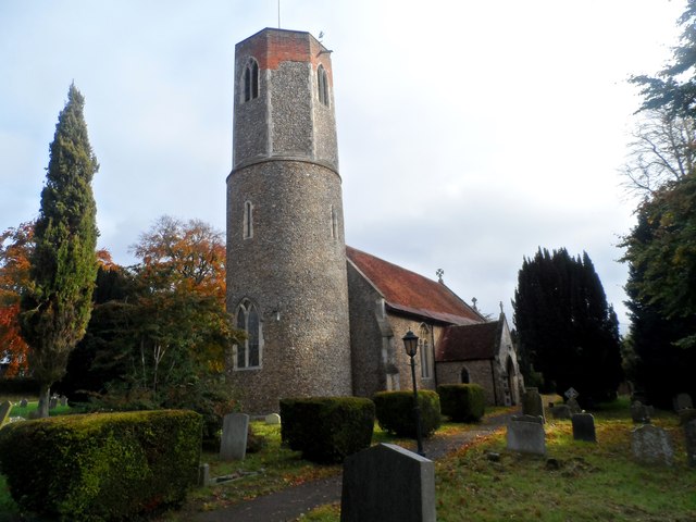
Image: © Bikeboy Taken: 29 Oct 2015
The lower part of the tower is C11 whilst the octagonal belfry stage is C14. The repairs to the top in red brick were made in C18/C19.
Images are licensed for reuse under creativecommons.org/licenses/by-sa/2.0
Image Location
Latitude
52.106402
Longitude
1.284339