Bramley station site, Surrey
Introduction
The photograph on this page of Bramley station site, Surrey by Ron Strutt as part of the Geograph project.
The Geograph project started in 2005 with the aim of publishing, organising and preserving representative images for every square kilometre of Great Britain, Ireland and the Isle of Man.

There are currently over 7.5m images from over 14,400 individuals and you can help contribute to the project by visiting https://www.geograph.org.uk
Bramley station site, Surrey
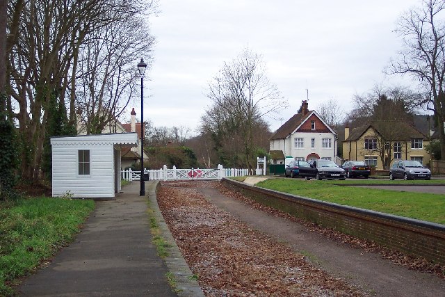
Image: © Ron Strutt Taken: 29 Dec 2004
The site of Bramley & Wonersh station, now part of the Downs Link cycle path, and recently enhanced by the local council.
Images are licensed for reuse under creativecommons.org/licenses/by-sa/2.0
Image Location


Leaflet Map data © OpenStreetMap
Latitude
51.19622
Longitude
-0.557347