down by the railway
Introduction
The photograph on this page of down by the railway by Gary Rogers as part of the Geograph project.
The Geograph project started in 2005 with the aim of publishing, organising and preserving representative images for every square kilometre of Great Britain, Ireland and the Isle of Man.

There are currently over 7.5m images from over 14,400 individuals and you can help contribute to the project by visiting https://www.geograph.org.uk
down by the railway
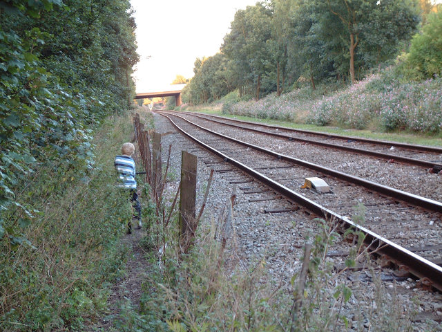
Image: © Gary Rogers Taken: 1 Sep 2005
This footpath runs west-east at the end of Edge Hall Road, Orrell on the southern edge of the grid square. It follows the railway track to bridge where it passes under the M6 motorway close to junction 26.
Images are licensed for reuse under creativecommons.org/licenses/by-sa/2.0
Image Location


Leaflet Map data © OpenStreetMap
Latitude
53.535081
Longitude
-2.703048