Kingsbury Station - street level
Introduction
The photograph on this page of Kingsbury Station - street level by Robin Webster as part of the Geograph project.
The Geograph project started in 2005 with the aim of publishing, organising and preserving representative images for every square kilometre of Great Britain, Ireland and the Isle of Man.

There are currently over 7.5m images from over 14,400 individuals and you can help contribute to the project by visiting https://www.geograph.org.uk
Kingsbury Station - street level
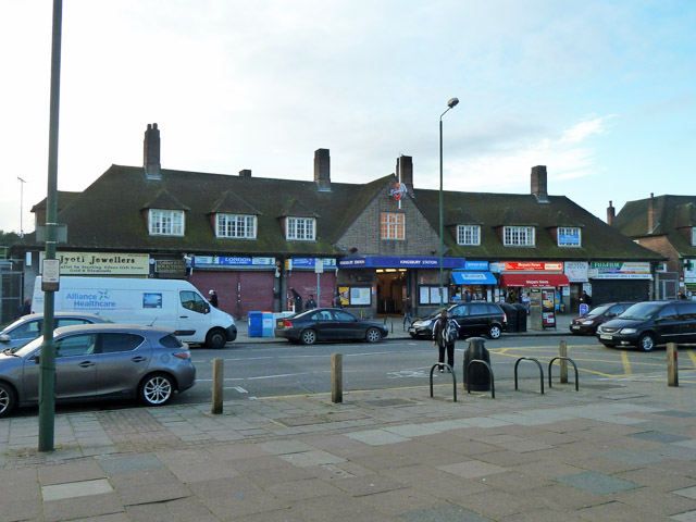
Image: © Robin Webster Taken: 13 Oct 2012
A Jubilee Line station, the block incorporates shops, and on the upper floor, solicitors and a dental practice. It was opened in 1932 by the Metropolitan Railway and later transferred to the Bakerloo Line and then in 1979 the Jubilee Line.
Images are licensed for reuse under creativecommons.org/licenses/by-sa/2.0
Image Location


Leaflet Map data © OpenStreetMap
Latitude
51.5848
Longitude
-0.278908