2016: a year on Geograph (Day 2)
Introduction
The photograph on this page of 2016: a year on Geograph (Day 2) by Basher Eyre as part of the Geograph project.
The Geograph project started in 2005 with the aim of publishing, organising and preserving representative images for every square kilometre of Great Britain, Ireland and the Isle of Man.

There are currently over 7.5m images from over 14,400 individuals and you can help contribute to the project by visiting https://www.geograph.org.uk
2016: a year on Geograph (Day 2)
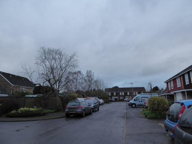
Image: © Basher Eyre Taken: 2 Jan 2016
Looking northwards up Lower Wardown The Herne Farm housing estate began development in 1974. This is one of the earlier roads
Images are licensed for reuse under creativecommons.org/licenses/by-sa/2.0
Image Location
Latitude
51.006438
Longitude
-0.920576