Field of maize near Rodbaston Campus
Introduction
The photograph on this page of Field of maize near Rodbaston Campus by Bill Boaden as part of the Geograph project.
The Geograph project started in 2005 with the aim of publishing, organising and preserving representative images for every square kilometre of Great Britain, Ireland and the Isle of Man.

There are currently over 7.5m images from over 14,400 individuals and you can help contribute to the project by visiting https://www.geograph.org.uk
Field of maize near Rodbaston Campus
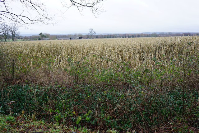
Image: © Bill Boaden Taken: 2 Jan 2016
You can both see and hear the M6 from here. Rodbaston Stables are to the left.
Images are licensed for reuse under creativecommons.org/licenses/by-sa/2.0
Image Location
Latitude
52.704264
Longitude
-2.115689