Pwll y Mer
Introduction
The photograph on this page of Pwll y Mer by Alan Hughes as part of the Geograph project.
The Geograph project started in 2005 with the aim of publishing, organising and preserving representative images for every square kilometre of Great Britain, Ireland and the Isle of Man.

There are currently over 7.5m images from over 14,400 individuals and you can help contribute to the project by visiting https://www.geograph.org.uk
Pwll y Mer
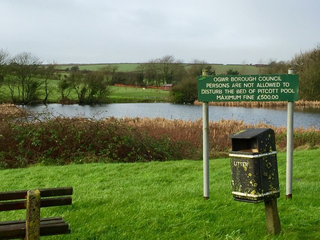
Image: © Alan Hughes Taken: 2 Jan 2016
Pwll y Mer, otherwise known as Pitcott Pool. Does Ogwr Borough Council's concern for the environment enhance or detract?
Images are licensed for reuse under creativecommons.org/licenses/by-sa/2.0
Image Location
Latitude
51.45786
Longitude
-3.590986