Former Seminary
Introduction
The photograph on this page of Former Seminary by Bob Harvey as part of the Geograph project.
The Geograph project started in 2005 with the aim of publishing, organising and preserving representative images for every square kilometre of Great Britain, Ireland and the Isle of Man.

There are currently over 7.5m images from over 14,400 individuals and you can help contribute to the project by visiting https://www.geograph.org.uk
Former Seminary
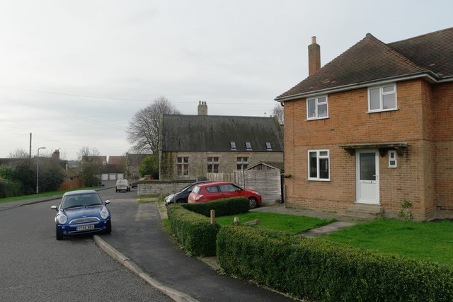
Image: © Bob Harvey Taken: 1 Jan 2016
The stone built house on the corner was once both the home of the local Catholic Priest, and a place where two or three younger priests in training would live as well.
Images are licensed for reuse under creativecommons.org/licenses/by-sa/2.0
Image Location
Latitude
52.815283
Longitude
-0.51976