Reed Cricket Club: nets, scoreboard and pavilion
Introduction
The photograph on this page of Reed Cricket Club: nets, scoreboard and pavilion by John Sutton as part of the Geograph project.
The Geograph project started in 2005 with the aim of publishing, organising and preserving representative images for every square kilometre of Great Britain, Ireland and the Isle of Man.

There are currently over 7.5m images from over 14,400 individuals and you can help contribute to the project by visiting https://www.geograph.org.uk
Reed Cricket Club: nets, scoreboard and pavilion
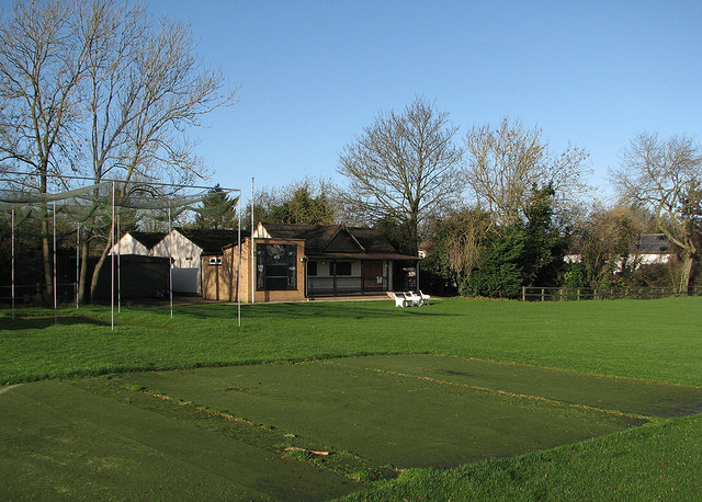
Image: © John Sutton Taken: 31 Dec 2015
New Year's Eve - so thoughts can turn to the 2016 season.
Images are licensed for reuse under creativecommons.org/licenses/by-sa/2.0
Image Location
Latitude
52.007512
Longitude
-0.021306