Central Avenue, Mapperley Plains, Notts.
Introduction
The photograph on this page of Central Avenue, Mapperley Plains, Notts. by David Hallam-Jones as part of the Geograph project.
The Geograph project started in 2005 with the aim of publishing, organising and preserving representative images for every square kilometre of Great Britain, Ireland and the Isle of Man.

There are currently over 7.5m images from over 14,400 individuals and you can help contribute to the project by visiting https://www.geograph.org.uk
Central Avenue, Mapperley Plains, Notts.
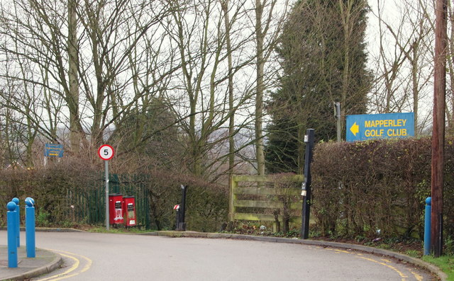
Image: © David Hallam-Jones Taken: 1 Jan 2016
With Plains Road, i.e. the B684 (Nottingham to Dorket Head road) 150 metres behind the photographer, this is a cul-de-sac that providing access to Mapperley Golf Club and the Mapperley Plains Junior School only. Behind the waist-high, black-painted bollard however, a combined footpath and bridleway drops away - downhill - towards Mapperley Recreation Ground.
Images are licensed for reuse under creativecommons.org/licenses/by-sa/2.0
Image Location
Latitude
52.987423
Longitude
-1.113932