Fields near Osmotherley
Introduction
The photograph on this page of Fields near Osmotherley by Derek Harper as part of the Geograph project.
The Geograph project started in 2005 with the aim of publishing, organising and preserving representative images for every square kilometre of Great Britain, Ireland and the Isle of Man.

There are currently over 7.5m images from over 14,400 individuals and you can help contribute to the project by visiting https://www.geograph.org.uk
Fields near Osmotherley
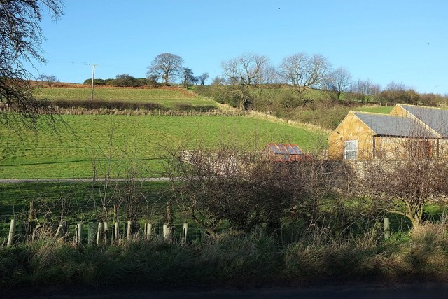
Image: © Derek Harper Taken: 27 Dec 2015
From the same point as Image], looking in the opposite direction. The farm is Brackenrigg. The combination of hedge and fence crossing the image above it marks the course of bridleway 10 111/026. Behind is Summer Game Hill, where woodland surround Lady's Chapel.
Images are licensed for reuse under creativecommons.org/licenses/by-sa/2.0
Image Location
Latitude
54.373664
Longitude
-1.298023