Romanby Methodist Church, The Fairway
Introduction
The photograph on this page of Romanby Methodist Church, The Fairway by Bob Embleton as part of the Geograph project.
The Geograph project started in 2005 with the aim of publishing, organising and preserving representative images for every square kilometre of Great Britain, Ireland and the Isle of Man.

There are currently over 7.5m images from over 14,400 individuals and you can help contribute to the project by visiting https://www.geograph.org.uk
Romanby Methodist Church, The Fairway
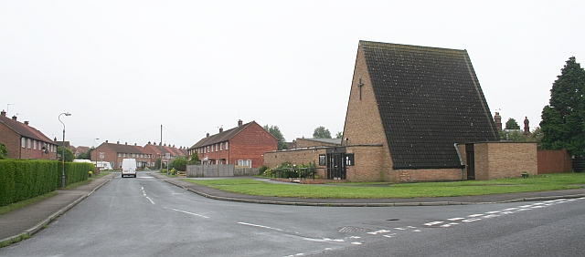
Image: © Bob Embleton Taken: 19 Jun 2007
The Fairway is a link road (rat run) between Boroughbridge Road and Harewood Lane. Plenty of signs indicating the speed limit.
Images are licensed for reuse under creativecommons.org/licenses/by-sa/2.0
Image Location


Leaflet Map data © OpenStreetMap
Latitude
54.331475
Longitude
-1.446062