Charles Street, Arnold, Notts.
Introduction
The photograph on this page of Charles Street, Arnold, Notts. by David Hallam-Jones as part of the Geograph project.
The Geograph project started in 2005 with the aim of publishing, organising and preserving representative images for every square kilometre of Great Britain, Ireland and the Isle of Man.

There are currently over 7.5m images from over 14,400 individuals and you can help contribute to the project by visiting https://www.geograph.org.uk
Charles Street, Arnold, Notts.
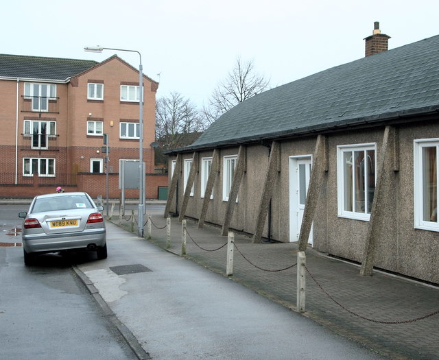
Image: © David Hallam-Jones Taken: 1 Jan 2016
Facing Charles Street's junction with Nottingham Road. Nottingham Road is the one of the principal routes into Arnold's commercial heart. "The Old People's Welfare Centre" on the right was built in 1955 as a result of public generosity. It was provided "for the welfare of aged persons in Arnold and Daybrook and District, in perpetuity." It is also available for hire by community groups, e.g. a local amateur dramatic group uses it regularly to stage their productions.
Images are licensed for reuse under creativecommons.org/licenses/by-sa/2.0
Image Location
Latitude
53.000496
Longitude
-1.131247