Vacant site, Carrick Hill, Belfast (December 2015)
Introduction
The photograph on this page of Vacant site, Carrick Hill, Belfast (December 2015) by Albert Bridge as part of the Geograph project.
The Geograph project started in 2005 with the aim of publishing, organising and preserving representative images for every square kilometre of Great Britain, Ireland and the Isle of Man.

There are currently over 7.5m images from over 14,400 individuals and you can help contribute to the project by visiting https://www.geograph.org.uk
Vacant site, Carrick Hill, Belfast (December 2015)
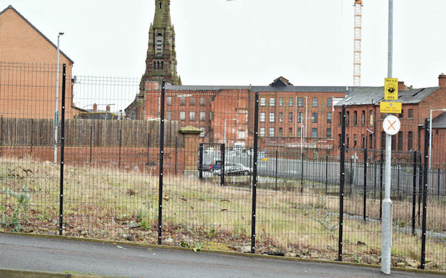
Image: © Albert Bridge Taken: 31 Dec 2015
A vacant site at the corner of Carrick Hill and Kent Street (foreground). Previously seen in (April 2010) Image when it appeared that the site was about to be developed. Included in the Northside regeneration area. For future reference St Patrick’s spire Image is in the background.
Images are licensed for reuse under creativecommons.org/licenses/by-sa/2.0
Image Location
Latitude
54.603592
Longitude
-5.934243