Wattisham Airfield perimeter fence
Introduction
The photograph on this page of Wattisham Airfield perimeter fence by Jonathan Billinger as part of the Geograph project.
The Geograph project started in 2005 with the aim of publishing, organising and preserving representative images for every square kilometre of Great Britain, Ireland and the Isle of Man.

There are currently over 7.5m images from over 14,400 individuals and you can help contribute to the project by visiting https://www.geograph.org.uk
Wattisham Airfield perimeter fence
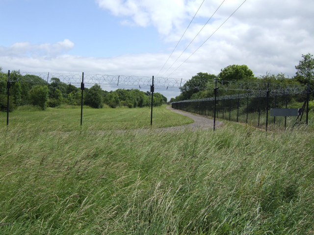
Image: © Jonathan Billinger Taken: 26 Jun 2007
Viewed from the Nedging Tye side near Gate 2.
Images are licensed for reuse under creativecommons.org/licenses/by-sa/2.0
Image Location
Latitude
52.112275
Longitude
0.950248