Bridleway through heathland
Introduction
The photograph on this page of Bridleway through heathland by Robin Webster as part of the Geograph project.
The Geograph project started in 2005 with the aim of publishing, organising and preserving representative images for every square kilometre of Great Britain, Ireland and the Isle of Man.

There are currently over 7.5m images from over 14,400 individuals and you can help contribute to the project by visiting https://www.geograph.org.uk
Bridleway through heathland
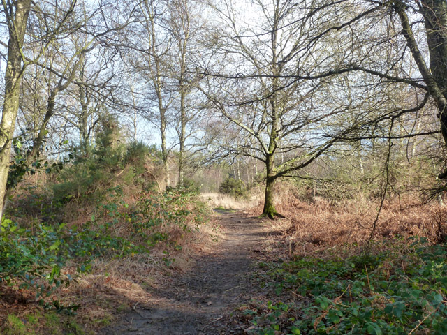
Image: © Robin Webster Taken: 31 Dec 2015
The heathland is criss-crossed by rights of way, and appears open access. However, what is mapped as such stops abruptly, but seamlessly on the ground, at a nearby administrative boundary.
Images are licensed for reuse under creativecommons.org/licenses/by-sa/2.0
Image Location


Leaflet Map data © OpenStreetMap
Latitude
51.073192
Longitude
-0.830241