Sutton-in-Ashfield - Quarrydale School
Introduction
The photograph on this page of Sutton-in-Ashfield - Quarrydale School by Dave Bevis as part of the Geograph project.
The Geograph project started in 2005 with the aim of publishing, organising and preserving representative images for every square kilometre of Great Britain, Ireland and the Isle of Man.

There are currently over 7.5m images from over 14,400 individuals and you can help contribute to the project by visiting https://www.geograph.org.uk
Sutton-in-Ashfield - Quarrydale School
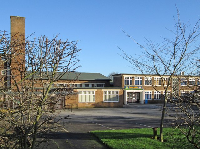
Image: © Dave Bevis Taken: 29 Dec 2015
On Stoneyford Road. The school is likely to have been built around 1955, judging by the Friends Reunited alumni. Please see Image for a close-up of the school entrance.
Images are licensed for reuse under creativecommons.org/licenses/by-sa/2.0
Image Location
Latitude
53.135527
Longitude
-1.266643