The ruins of Castell Carndochan
Introduction
The photograph on this page of The ruins of Castell Carndochan by Eric Jones as part of the Geograph project.
The Geograph project started in 2005 with the aim of publishing, organising and preserving representative images for every square kilometre of Great Britain, Ireland and the Isle of Man.

There are currently over 7.5m images from over 14,400 individuals and you can help contribute to the project by visiting https://www.geograph.org.uk
The ruins of Castell Carndochan
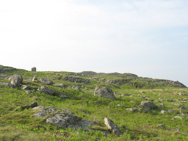
Image: © Eric Jones Taken: 5 Jun 2007
This castle, built by Llywelyn ap Iorwerth in the 13thC, is impressively positioned on a high crag. Amidst the piles of debris the foundations of a D tower, a round tower and a central block can be discerned.
Images are licensed for reuse under creativecommons.org/licenses/by-sa/2.0
Image Location
Latitude
52.861132
Longitude
-3.71374