Thames and Severn Canal, Cirencester Arm
Introduction
The photograph on this page of Thames and Severn Canal, Cirencester Arm by Vieve Forward as part of the Geograph project.
The Geograph project started in 2005 with the aim of publishing, organising and preserving representative images for every square kilometre of Great Britain, Ireland and the Isle of Man.

There are currently over 7.5m images from over 14,400 individuals and you can help contribute to the project by visiting https://www.geograph.org.uk
Thames and Severn Canal, Cirencester Arm
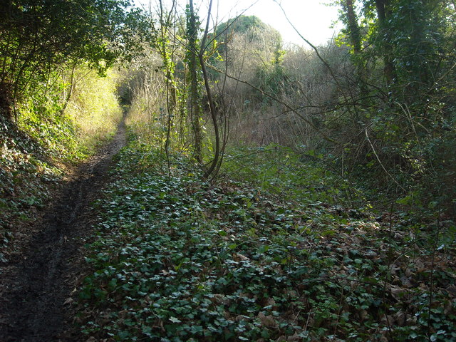
Image: © Vieve Forward Taken: 29 Dec 2015
This is part of what remains of the Cirencester arm of the Thames and Severn Canal. It ran from the junction above Siddington Upper Lock to Cirencester Wharf, which was somewhere near Waitrose. The Thames and Severn Way officially follows it only part of the way, the part in the photograph being merely a public footpath. http://www.pikelock.co.uk/canal/t&scanal/cirencester%20arm/cirencester%20arm.html http://www.cotswoldcanals.com/pages/locks-bridges-structures/bridges-and-buildings.php https://en.wikipedia.org/wiki/Thames_and_Severn_Canal
Images are licensed for reuse under creativecommons.org/licenses/by-sa/2.0
Image Location
Latitude
51.701435
Longitude
-1.957121