Waymarker post by the River Severn, Stourport-on-Severn
Introduction
The photograph on this page of Waymarker post by the River Severn, Stourport-on-Severn by P L Chadwick as part of the Geograph project.
The Geograph project started in 2005 with the aim of publishing, organising and preserving representative images for every square kilometre of Great Britain, Ireland and the Isle of Man.

There are currently over 7.5m images from over 14,400 individuals and you can help contribute to the project by visiting https://www.geograph.org.uk
Waymarker post by the River Severn, Stourport-on-Severn
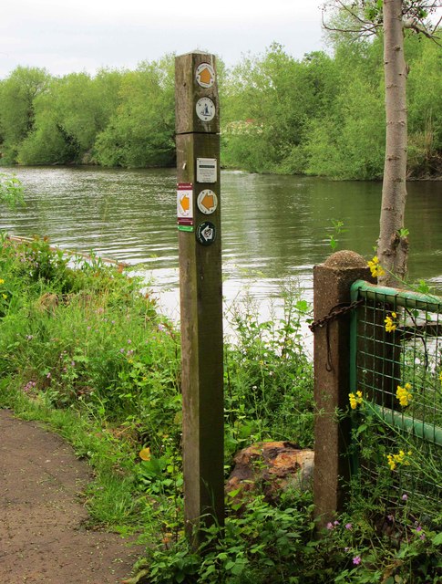
Image: © P L Chadwick Taken: 25 May 2015
This post is located at the junction of the public footpath running alongside this bank of the River Severn and a public footpath from Power Station Road. The latter is part of the Geopark Way.
Images are licensed for reuse under creativecommons.org/licenses/by-sa/2.0
Image Location
Latitude
52.332807
Longitude
-2.274968