Concreted areas in field
Introduction
The photograph on this page of Concreted areas in field by Trevor Littlewood as part of the Geograph project.
The Geograph project started in 2005 with the aim of publishing, organising and preserving representative images for every square kilometre of Great Britain, Ireland and the Isle of Man.

There are currently over 7.5m images from over 14,400 individuals and you can help contribute to the project by visiting https://www.geograph.org.uk
Concreted areas in field
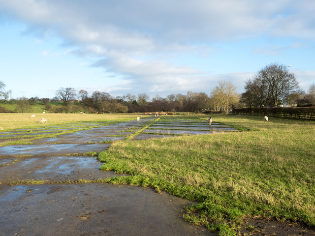
Image: © Trevor Littlewood Taken: 29 Dec 2015
The concreted areas are in a field on the north side of the A688 at Stainton Grove; they form a symmetrical pattern and are indicated on OS maps from the 1:25 000 scale upwards. Their purpose is unknown.
Images are licensed for reuse under creativecommons.org/licenses/by-sa/2.0
Image Location
Latitude
54.556745
Longitude
-1.894669