Malvern Common land
Introduction
The photograph on this page of Malvern Common land by Jonathan Billinger as part of the Geograph project.
The Geograph project started in 2005 with the aim of publishing, organising and preserving representative images for every square kilometre of Great Britain, Ireland and the Isle of Man.

There are currently over 7.5m images from over 14,400 individuals and you can help contribute to the project by visiting https://www.geograph.org.uk
Malvern Common land
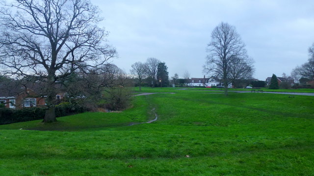
Image: © Jonathan Billinger Taken: 30 Dec 2015
There are many similar open spaces between the housing of the Greater Malvern conurbation. This one is between Crown Lea and the Guarlford Road.
Images are licensed for reuse under creativecommons.org/licenses/by-sa/2.0
Image Location
Latitude
52.106716
Longitude
-2.304382