Falmer Road, Rottingdean
Introduction
The photograph on this page of Falmer Road, Rottingdean by Simon Carey as part of the Geograph project.
The Geograph project started in 2005 with the aim of publishing, organising and preserving representative images for every square kilometre of Great Britain, Ireland and the Isle of Man.

There are currently over 7.5m images from over 14,400 individuals and you can help contribute to the project by visiting https://www.geograph.org.uk
Falmer Road, Rottingdean
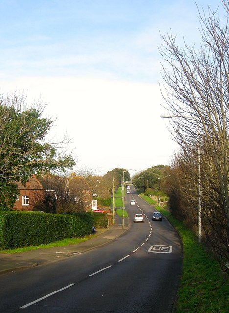
Image: © Simon Carey Taken: 28 Dec 2015
The B2123 heading northward through what was originally the parish of Ovingdean but is now regarded as the northern end of the village of Rottingdean.
Images are licensed for reuse under creativecommons.org/licenses/by-sa/2.0
Image Location
Latitude
50.814697
Longitude
-0.063487