The Vale, Ovingdean
Introduction
The photograph on this page of The Vale, Ovingdean by Simon Carey as part of the Geograph project.
The Geograph project started in 2005 with the aim of publishing, organising and preserving representative images for every square kilometre of Great Britain, Ireland and the Isle of Man.

There are currently over 7.5m images from over 14,400 individuals and you can help contribute to the project by visiting https://www.geograph.org.uk
The Vale, Ovingdean
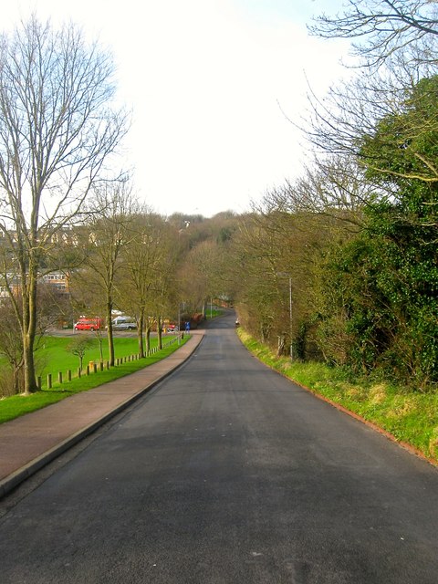
Image: © Simon Carey Taken: 28 Dec 2015
A public highway up to the entrance of Image after which the road turns north becoming a private track up to Ovingdean Road. The latter part was developed towards the end of the 1930s.
Images are licensed for reuse under creativecommons.org/licenses/by-sa/2.0
Image Location
Latitude
50.819084
Longitude
-0.067707