Ovingdean Road
Introduction
The photograph on this page of Ovingdean Road by Simon Carey as part of the Geograph project.
The Geograph project started in 2005 with the aim of publishing, organising and preserving representative images for every square kilometre of Great Britain, Ireland and the Isle of Man.

There are currently over 7.5m images from over 14,400 individuals and you can help contribute to the project by visiting https://www.geograph.org.uk
Ovingdean Road
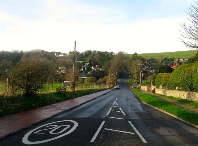
Image: © Simon Carey Taken: 28 Dec 2015
Viewed from the junction with Falmer Road, the B2123, the eastern entrance to the village of Ovingdean. The road itself heads down into the dip then climbs up and over Long Hill to get to the centre of the settlement.
Images are licensed for reuse under creativecommons.org/licenses/by-sa/2.0
Image Location
Latitude
50.82174
Longitude
-0.070579