Footbridge over Normanby Road
Introduction
The photograph on this page of Footbridge over Normanby Road by Stephen McCulloch as part of the Geograph project.
The Geograph project started in 2005 with the aim of publishing, organising and preserving representative images for every square kilometre of Great Britain, Ireland and the Isle of Man.

There are currently over 7.5m images from over 14,400 individuals and you can help contribute to the project by visiting https://www.geograph.org.uk
Footbridge over Normanby Road
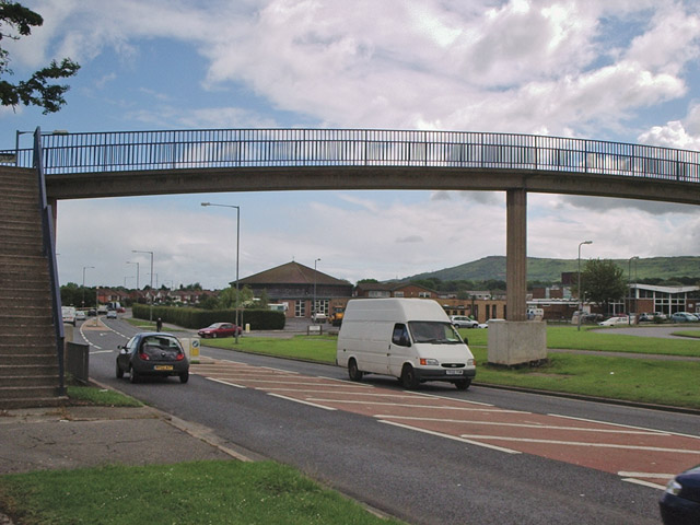
Image: © Stephen McCulloch Taken: 26 Jun 2007
Bridge linking Netherfields and Overfields estates. Under the bridge can be seen St Gabriel's church and school to its right, with Eston Hills in the distance. Update: The footbridge was demolished in May 2008.
Images are licensed for reuse under creativecommons.org/licenses/by-sa/2.0
Image Location
Latitude
54.551654
Longitude
-1.176542