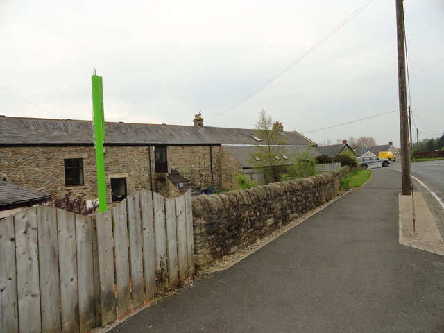
West Farm, Chopwell
Introduction
The photograph on this page of West Farm, Chopwell by Robert Graham as part of the Geograph project.
The Geograph project started in 2005 with the aim of publishing, organising and preserving representative images for every square kilometre of Great Britain, Ireland and the Isle of Man.
There are currently over 7.5m images from over 14,400 individuals and you can help contribute to the project by visiting https://www.geograph.org.uk

Image: © Robert Graham Taken: 30 Apr 2014
This stands at the bottom of Clayton Terrace, beside the junction with Hall Road. This was at the centre of the hamlet of West Chopwell which was all that existed here prior to the building of the colliery village to the south after 1900. These buildings formed the main C19 farm range, with the right hand portion probably being the original farmhouse. All have now been converted to residential use.

