Leigh Brow
Introduction
The photograph on this page of Leigh Brow by Adam C Snape as part of the Geograph project.
The Geograph project started in 2005 with the aim of publishing, organising and preserving representative images for every square kilometre of Great Britain, Ireland and the Isle of Man.

There are currently over 7.5m images from over 14,400 individuals and you can help contribute to the project by visiting https://www.geograph.org.uk
Leigh Brow
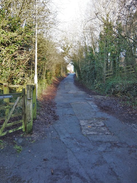
Image: © Adam C Snape Taken: 27 Dec 2015
The name of the road changes from Wateringpool Lane to Leigh Brow at Leigh Brow Bridge. This narrow lane which once formed part of a through route from Lostock Hall to Walton-le-Dale is now restricted to non-motorised traffic. At the top of the brow is the Walton Park housing estate. The gate to the left provides access to the old railway foot/cycle path. Leigh Brow Bridge is just behind the photographer (see Image).
Images are licensed for reuse under creativecommons.org/licenses/by-sa/2.0
Image Location
Latitude
53.735688
Longitude
-2.69002