Victoria Park and Metrolink
Introduction
The photograph on this page of Victoria Park and Metrolink by Jonathan Wilkins as part of the Geograph project.
The Geograph project started in 2005 with the aim of publishing, organising and preserving representative images for every square kilometre of Great Britain, Ireland and the Isle of Man.

There are currently over 7.5m images from over 14,400 individuals and you can help contribute to the project by visiting https://www.geograph.org.uk
Victoria Park and Metrolink
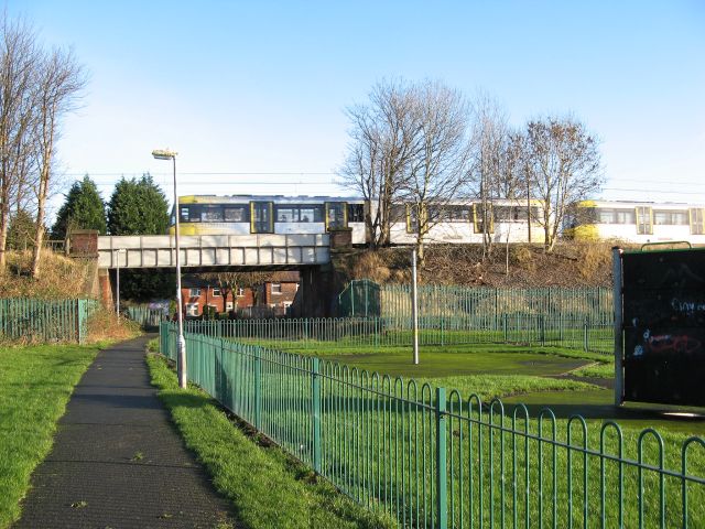
Image: © Jonathan Wilkins Taken: 27 Dec 2015
Victoria Park forms an enclave to the east of Bury New Road. A bridge on the Metrolink line crosses a footpath route which parallels Victoria Lane.
Images are licensed for reuse under creativecommons.org/licenses/by-sa/2.0
Image Location
Latitude
53.545877
Longitude
-2.289264