A woodland walk
Introduction
The photograph on this page of A woodland walk by Adam C Snape as part of the Geograph project.
The Geograph project started in 2005 with the aim of publishing, organising and preserving representative images for every square kilometre of Great Britain, Ireland and the Isle of Man.

There are currently over 7.5m images from over 14,400 individuals and you can help contribute to the project by visiting https://www.geograph.org.uk
A woodland walk
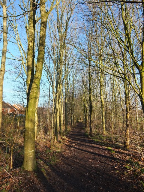
Image: © Adam C Snape Taken: 27 Dec 2015
Created as part of the development of the Walton Park housing estate, this is a nice woodland walk from the pond to Old Tram Road. It falls within the area of the proposed South Ribble Central Park https://web.archive.org/web/20151005072030/http://www.southribble.gov.uk/sites/default/files/CentralparkMasterplan.pdf (pdf).
Images are licensed for reuse under creativecommons.org/licenses/by-sa/2.0
Image Location
Latitude
53.736089
Longitude
-2.682901