Holyhead 97
Introduction
The photograph on this page of Holyhead 97 by Keith Evans as part of the Geograph project.
The Geograph project started in 2005 with the aim of publishing, organising and preserving representative images for every square kilometre of Great Britain, Ireland and the Isle of Man.

There are currently over 7.5m images from over 14,400 individuals and you can help contribute to the project by visiting https://www.geograph.org.uk
Holyhead 97
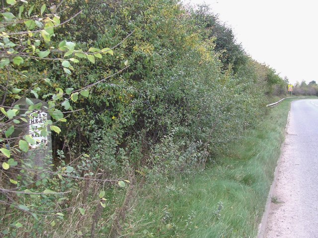
Image: © Keith Evans Taken: 17 Oct 2015
Old milestone to the left in hedge on what would have been the A.5 near to Kinton, Shropshire. For close up view see http://www.geograph.org.uk/photo/4776156
Images are licensed for reuse under creativecommons.org/licenses/by-sa/2.0
Image Location
Latitude
52.781725
Longitude
-2.934434