Rhodes Minnis Methodist Church
Introduction
The photograph on this page of Rhodes Minnis Methodist Church by Robin Webster as part of the Geograph project.
The Geograph project started in 2005 with the aim of publishing, organising and preserving representative images for every square kilometre of Great Britain, Ireland and the Isle of Man.

There are currently over 7.5m images from over 14,400 individuals and you can help contribute to the project by visiting https://www.geograph.org.uk
Rhodes Minnis Methodist Church
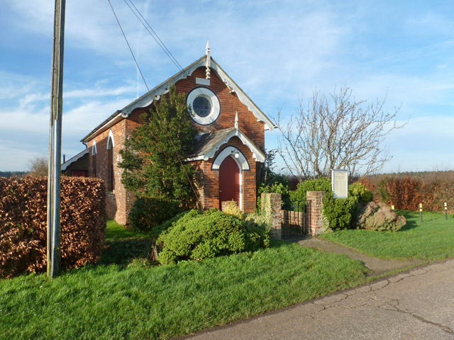
Image: © Robin Webster Taken: 28 Dec 2015
On Chapel Lane. The stone above the circular window, where one might expect a date, seems to have nothing on it. A Providence Chapel (Bible Christian) appeared on maps between 1872 and 1896, before which there was nothing here.
Images are licensed for reuse under creativecommons.org/licenses/by-sa/2.0
Image Location
Latitude
51.147544
Longitude
1.077183