Llwybr yr Allt Path
Introduction
The photograph on this page of Llwybr yr Allt Path by Alan Richards as part of the Geograph project.
The Geograph project started in 2005 with the aim of publishing, organising and preserving representative images for every square kilometre of Great Britain, Ireland and the Isle of Man.

There are currently over 7.5m images from over 14,400 individuals and you can help contribute to the project by visiting https://www.geograph.org.uk
Llwybr yr Allt Path
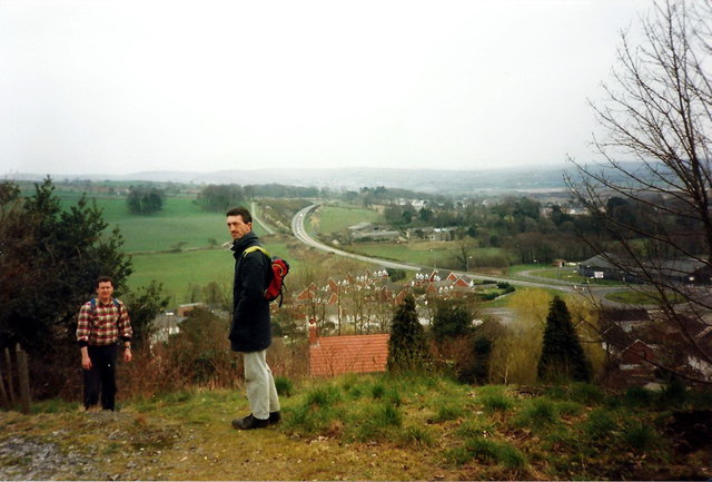
Image: © Alan Richards Taken: 22 Apr 1996
Cerddwyr yd dilyn llwybr yn yr Allt. Gwelir yn y pellter ffordd osgoi Llangennech. Walkers following a footpath in the Allt. The Llangennech by-pass can be seen in the distance.
Images are licensed for reuse under creativecommons.org/licenses/by-sa/2.0
Image Location
Latitude
51.700877
Longitude
-4.092401