Bench mark on Ysgol Nannerch
Introduction
The photograph on this page of Bench mark on Ysgol Nannerch by John S Turner as part of the Geograph project.
The Geograph project started in 2005 with the aim of publishing, organising and preserving representative images for every square kilometre of Great Britain, Ireland and the Isle of Man.

There are currently over 7.5m images from over 14,400 individuals and you can help contribute to the project by visiting https://www.geograph.org.uk
Bench mark on Ysgol Nannerch
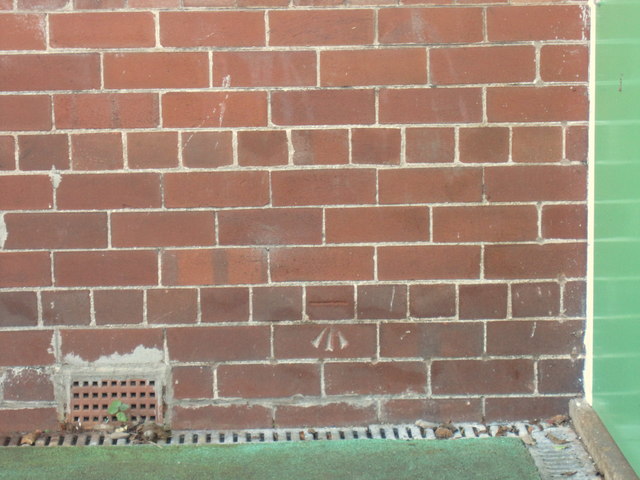
Image: © John S Turner Taken: 15 Oct 2011
This Ordnance Survey bench mark is on the north face of the school near a more modern annexe at the west end. The mark first appears on the 1954 O.S. map. See also Image For details of the mark see http://www.bench-marks.org.uk/bm72429
Images are licensed for reuse under creativecommons.org/licenses/by-sa/2.0
Image Location
Latitude
53.216448
Longitude
-3.249235