Washdyke Lane, Belton, Lincs.
Introduction
The photograph on this page of Washdyke Lane, Belton, Lincs. by David Hallam-Jones as part of the Geograph project.
The Geograph project started in 2005 with the aim of publishing, organising and preserving representative images for every square kilometre of Great Britain, Ireland and the Isle of Man.

There are currently over 7.5m images from over 14,400 individuals and you can help contribute to the project by visiting https://www.geograph.org.uk
Washdyke Lane, Belton, Lincs.
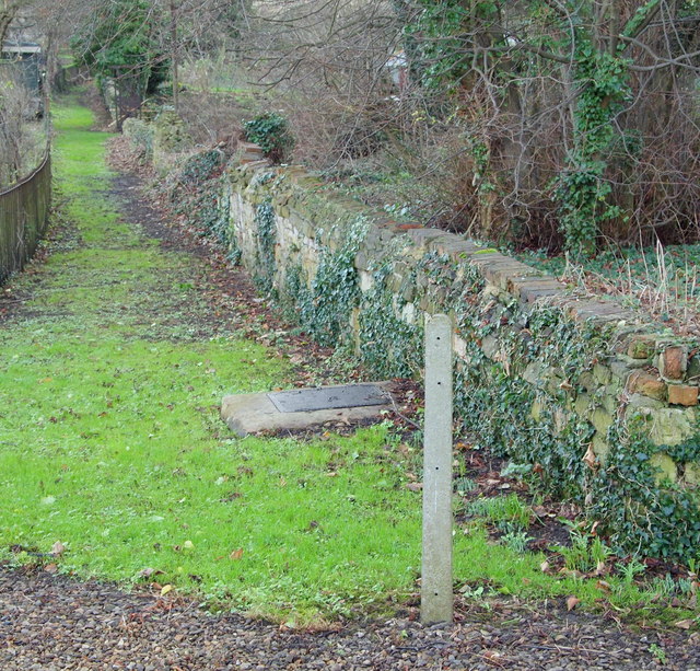
Image: © David Hallam-Jones Taken: 26 Dec 2015
On the left-hand side of the closed end of Washdyke Lane (a cul-de-sac) there exists this snicket, a short-cut that locals use to reach the former Bede House almshouses on Main Street. Alternatively, there is also a rural footpath to the photographer's right leading towards the River Witham.
Images are licensed for reuse under creativecommons.org/licenses/by-sa/2.0
Image Location
Latitude
52.946737
Longitude
-0.61827